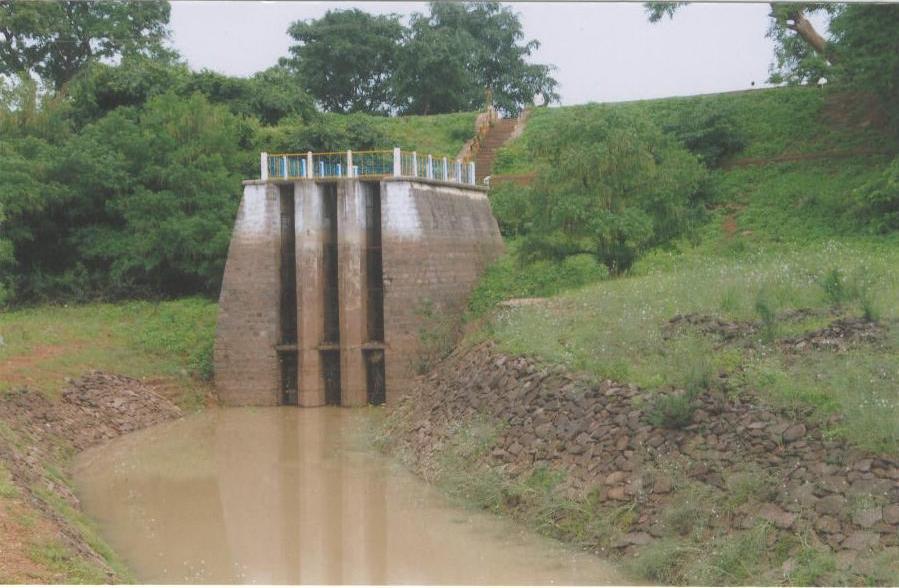
PAKHAL LAKE

Preamble
The scheme is constructed across Munneru vagu near Ashoknagar Village, Khanapur Mandal, Warangal District. The scheme is intended to irrigate an ayacut of 18193 acres.
Salient Features
| LOCATION: | : | The Project has been constructed near Ashoknagar(V), Khanapur(M),Warangal(D) |
| Latitude | : | 17°57' 05" N |
| Longitude | : | 79° 59' 05"E |
| Catchments area | : | 271.95 sqkm |
| Yield | : | 53.147 MCM |
| Storage | ||
| Gross | : | 95.832 MC M at FTL RL 252.92 mntrs |
| Dead(Below sil level) | : | 0.123MCM |
| Lowest sill level | : | 243.71 mtrs |
| Utilization | ||
| Canal Withdrawls | : | 1.75 TMC |
| Water Supply | : | - |
| Industrial | : | - |
| Reservoir losses | : | 0.85 TMC |
| Gross Utilization | : | 2.6 TMC |
| Gross Command Area | : | 10504 Ha (26000 Acres) |
| Dam and Appurtentment works | ||
| Type | : | Earth dam |
| Length | : | 1370 mtr |
| Height Above Average river B.L | : | 19 mtrs |
| Max Water level | : | 254.830 mtrs |
| Full Reservoir level | : | 252.92 mtrs |
| Minimum Draw Down Level | : | 251.92 mtrs |
| Dead Storage Lever | : | 243.710 mtrs |
| Sill Level of Sluices | ||
| LF Sluice | : | 243.710 mtrs |
| RF Sluice | : | 245.76 mtrs |
| Spill Way | ||
| Type | : | FO |
| Location | : | RIGHT FLANK |
| Length | : | 120 mtrs |
| Co-Efficient of Discharge | : | 3.64 |
| Discharge Capacity | : | 20796 CUSECS OR 189.33 CUMECS |